
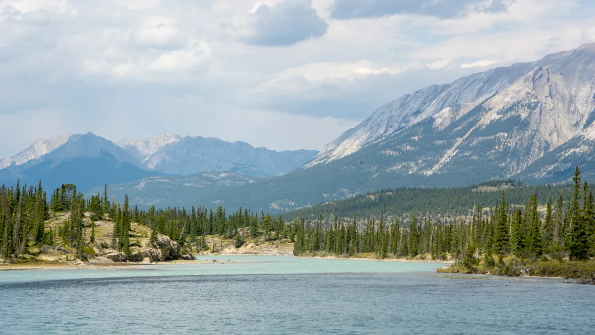
Highway 11 Alberta (David Thompson Highway) leads from the prairie through the Rockies to the Icefields Parkway. Find the best stops, hikes and practical tips.
A beautiful road trip to the Rockies
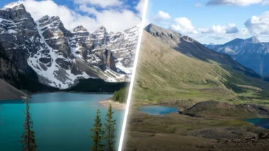
I’ve driven the famous Icefields Parkway in the Canadian Rockies three times, and every time I can’t stop staring. On my most recent trip to Canada I was looking for a similar road, and I ended up on Highway 11 in Alberta. And honestly? I might have enjoyed it even more than the Icefields Parkway.
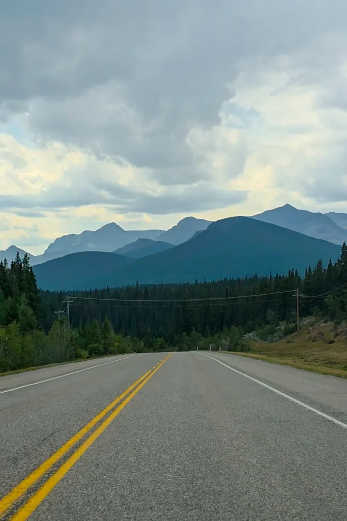
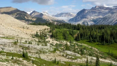
Heading west from Rocky Mountain House, you ease out of the prairie, and in the distance you already catch a glimpse of the huge mountains. Less than an hour and a half later, you’re right in the middle of them. The last stretch in particular, along Abraham Lake and the river with the mountains as a backdrop, was incredibly beautiful. And there’s another big plus: Highway 11 is nowhere near as busy as the Icefields Parkway, so you rarely have to hunt for a parking spot.
About Highway 11 (David Thompson Highway)
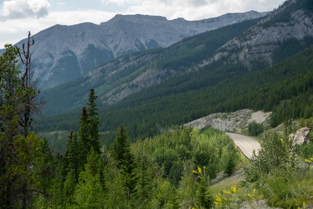
Highway 11 is officially called the David Thompson Highway, named after the mapmaker and explorer David Thompson. The full road is 198 miles (318 km) long. It starts at Nevis, at the junction with Highway 12, and ends at Saskatchewan River Crossing, where you reach the Icefields Parkway (Highway 93) in Banff National Park.
Because most people (like me) start in Rocky Mountain House, this article covers Highway 11 from there. From Rocky Mountain House to the junction with Highway 93, it’s about 110 miles (178 km). According to Google Maps, that’s roughly a two-hour drive. But there’s so much to see that you can easily spend a whole day on it. There are plenty of fun stops!
Best stops along Highway 11 in Alberta
There’s a surprising amount to see and do along Highway 11. Below is a selection of must-sees and great hikes. I did most of them myself, but unfortunately I had to skip a few.
Rocky Mountain House
Rocky Mountain House is a friendly little town, and for me it wasn’t just a place to spend the night, but also my last chance for a big grocery run. After this, there’s almost no facilities You’ll find a few large supermarkets here and a Canadian Tire, where you can pick up any camping gear you’re still missing.
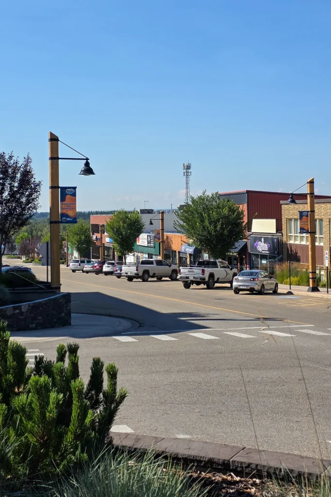
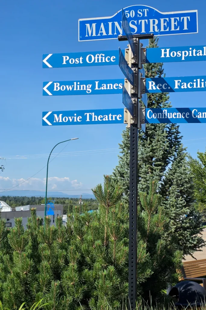
I also strolled down Main Street, which has a few shops and restaurants. At the intersections you can already see a tiny hint of the mountains in the distance. For coffee I went to Copper Creek Cafe, which is also a really cool bookstore (a great spot for souvenirs!).
Rocky Mountain House National Historic Site
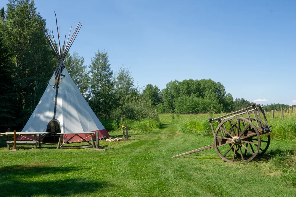
About 4 miles (6 km) west of town you’ll find the National Historic Site. Here you can learn about the fur trade and about David Thompson, the mapmaker who set out from this spot on expeditions to find a route to the west coast. The visitor center is a nice way to learn a bit more.
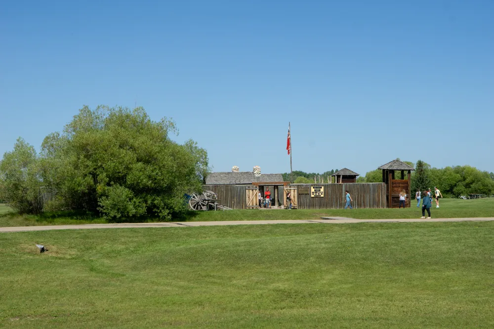
Afterwards I walked the David Thompson Trail, a 2-mile (3.2 km) loop along the North Saskatchewan River that took me a little under an hour. The site also has a small herd of bison from Elk Island National Park. I didn’t see them inside the park, but I did spot some in a pasture along Highway 11 as I drove in from Rocky Mountain House.
Nordegg
Nordegg is the last real town on the route, so fill up your tank here. Heading west, the next gas station is at Saskatchewan River Crossing. I also wandered around Nordegg for a bit, as there are several nice cafes and little shops. I really enjoyed browsing Beehive Artisans Market, where you’ll find great locally made souvenirs. Miners’ Cafe next door is known for its delicious pastries, but the line was so long that I skipped it.
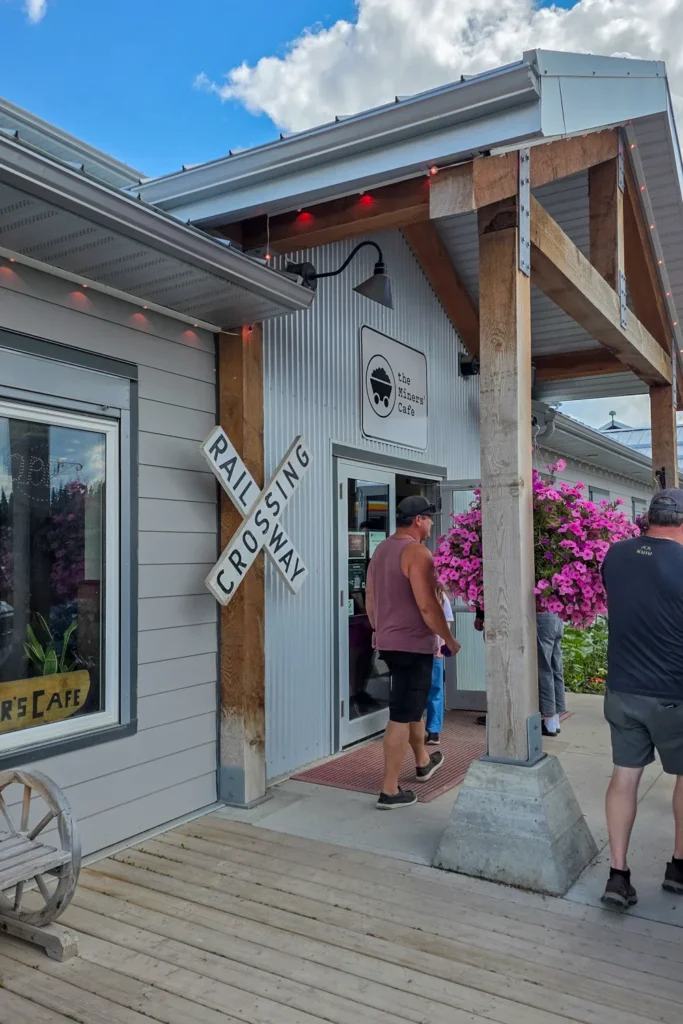
Curious about the history? The Nordegg Heritage Centre and the old mine site are worth a look too.
Crescent Falls
About 14 miles (22 km) west of Nordegg you’ll find Crescent Falls, a really cool waterfall that’s 89 feet (27 m) high and split into two tiers. The name comes from the crescent-shaped rock wall that the Bighorn River tumbles over.
I really wanted to go, but it didn’t work out. The road to the falls is unpaved and in such bad shape that I didn’t feel comfortable driving it in a rental car, and it was raining as well. So I kept driving.
Abraham Lake
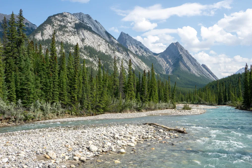
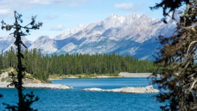
This is where I really felt like I was in the Rockies. From here on, the mountains are tall, rocky and steep. You drive right alongside Abraham Lake, a stunning mountain lake. There are plenty of places along the shore to pull over and take in the bright blue color of the water and the mountains behind it. Well-known viewpoints include Windy Point and Whiskey Rock.
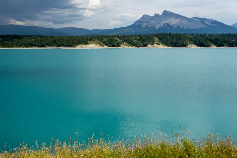
Abraham Lake is actually a reservoir, Alberta’s largest, created in 1972. You’d never guess. It’s a special place to see in winter too: when the lake freezes, lots of bubbles get trapped in the ice.
Vision Quest
While researching the trip I found plenty of beautiful hikes, but of course I couldn’t do them all. I had to skip Vision Quest, which is definitely a reason for me to drive this road again. It’s a serious climb, but the view from the top is said to be absolutely spectacular. You look out over the mountains and Abraham Lake, with Highway 11 winding below you.
It’s not that long (about 4.3 miles or 7 km round trip, so roughly 2 miles each way), but you have to climb around 2,600 feet (800 m). On top of that, you have to scramble over rocks for the last stretch. That makes it a tough hike, but definitely worth it!
Siffleur Falls
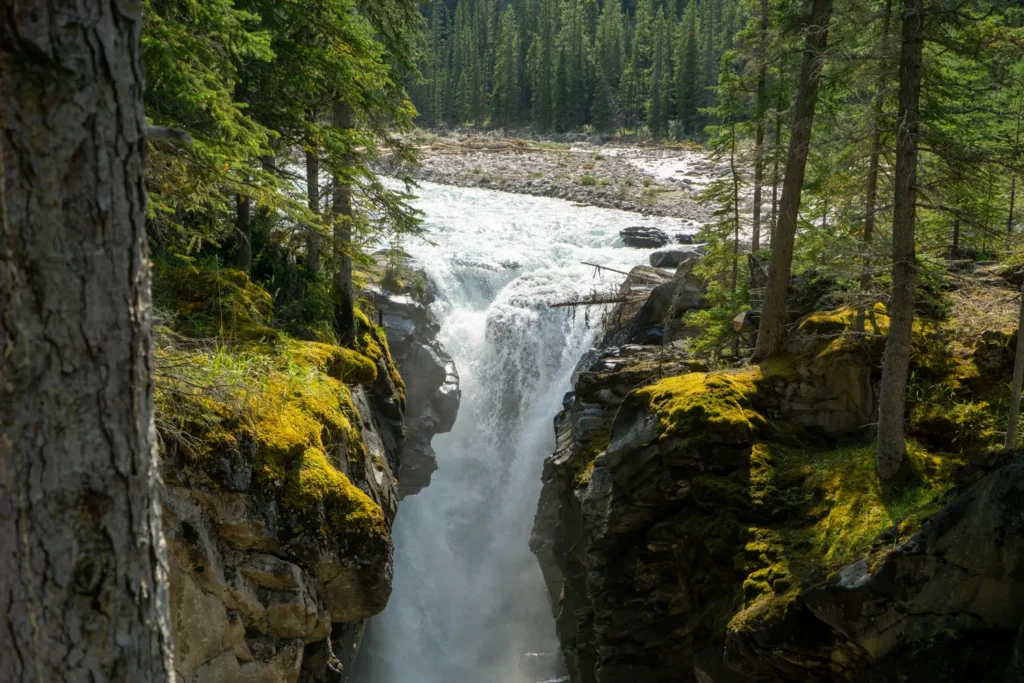
The hike I did do was the one to Siffleur Falls. It’s about the same length (also 4.3 miles or 7 km), but with a bit less elevation gain (about 380 feet or 115 m). I’ll be honest: I wasn’t sure I wanted to do the whole hike, because I was really struggling with jet lag. But once I got going, I only wanted to keep walking. It was just so beautiful!
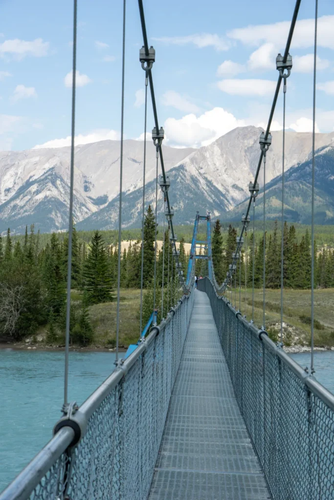
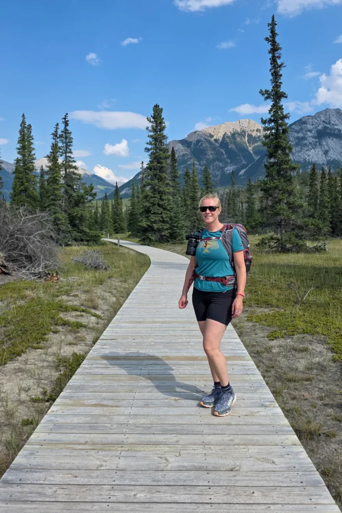
There are several highlights along the way. The hike starts in the Kootenay Plains Ecological Reserve with a seriously cool suspension bridge over the North Saskatchewan River. After that you follow a boardwalk that protects the fragile terrain, cross the Siffleur River and reach the canyon with the waterfall. There are several viewpoints here, so you can get a good look at both the canyon and the falls. Highly recommended!
Banff National Park
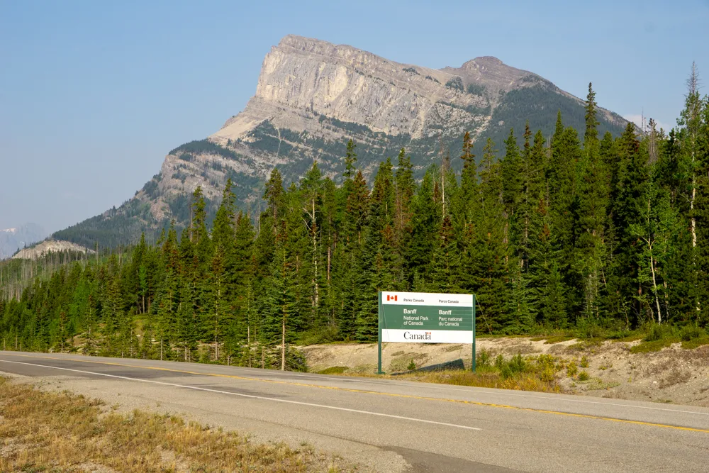
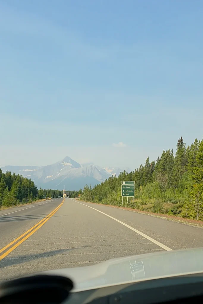
Before you even reach Highway 93, you’ve already entered Banff National Park. The western end of Highway 11 lies inside the park. Just before the junction you’ll pass the park entrance gate, where you can buy a park pass if you need one. Banff is your gateway to even more beautiful scenery!
As you can see, you could easily spend a few days exploring this one road. I’m sure I’ll drive it again someday to finally see all the highlights I missed!
Plan your road trip to the Rockies
✈️ Flights: Skyscanner is a handy way to compare flights to Calgary or Edmonton, the two closest big airports to Highway 11.
🚘 Rental car: compare prices and options at Discover Cars. Read the terms carefully if you plan to drive on unpaved roads, because they aren’t always allowed.
📱 eSIM: with an Airalo eSIM you stay online for navigation and for sending a quick message home.
Highway 11: practical tips
Before you set off on this beautiful road, there are a few things worth knowing.
How to get to Highway 11
From both Calgary and Edmonton, it’s about a 2.5-hour drive to Rocky Mountain House, where you can start your road trip along Highway 11. The western end of the road (Saskatchewan River Crossing) is about 1.5 hours north of Banff and just under two hours south of Jasper.
Cell service
Download offline maps before you go. Cell service already drops out regularly after Rocky Mountain House, and after Nordegg it’s gone completely.
Facilities
There are very few facilities along the route. Rocky Mountain House is the last big town where you can stock up. Nordegg has the last gas station (the next one is at Saskatchewan River Crossing, but it charges high prices) and a few small shops.
Where to stay
There are several options for spending the night along the route, but they’re mostly (basic) campgrounds. Here are a few recommendations.
Rocky Mountain House
Rocky Mountain House has plenty of affordable hotels. I stayed at Voyageur Motel, which was cheap and perfectly fine! If you’d like to be a bit more central, Walking Eagle Inn & Lodge is a good option too.
Nordegg
In the small town of Nordegg you’ll find a handful of small-scale places to stay. The nicest options are the little studios on the main street, such as Adventure Knap Shack. Outside town there’s also HI Nordegg (a hostel), where you can book a dorm bed as a budget option.
Campgrounds
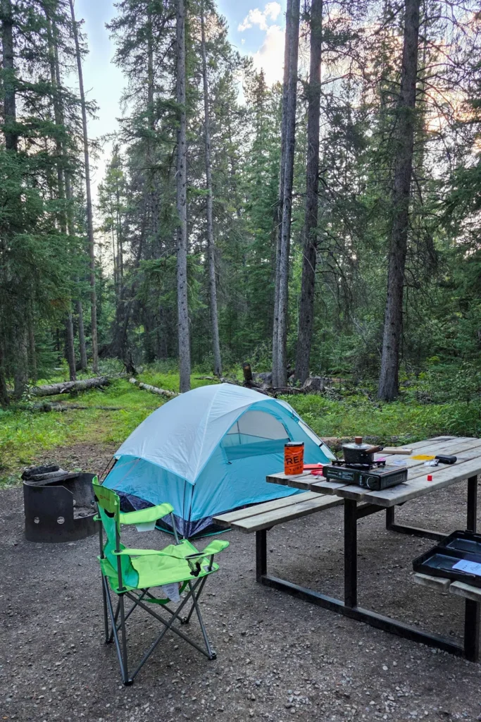
Traveling with a tent or a camper? There are plenty of places to spend the night along Highway 11, with lots of campgrounds to choose from. Keep in mind that most of them are basic, with no flush toilets or showers. I stayed at Thompson Creek Campground, which has nice, spacious sites in the forest, and you’re back on Highway 11 in no time.
Read more
Those were all my tips! Feeling inspired to explore Highway 11 in Alberta yourself, and to discover even more great places in Canada on a road trip? These guidebooks are packed with tips:
Fodor’s Canadian Rockies: with Calgary, Banff & Jasper
Lonely Planet Banff, Jasper and Glacier National Parks
I’ve now taken several long road trips in Canada, so you’ll find plenty more Canada tips on this website. You might also like:
- Peter Lougheed Provincial Park (Kanaskis): rugged Canada without the crowds
- 2-Week Canada road trip itinerary: Calgary to Vancouver
- Visiting Yoho National Park: tips & the best things to do
And subscribe to my newsletter if you want to stay up to date omy travel adventures and inspiration.
Hi, and thanks for reading this disclaimer! As you can imagine, running a website costs money. That’s why I’d really appreciate it if you buy or book something through the links in this article. I earn a small commission that way, which helps me keep this website going. Thank you! Support Op reis met Co.

Leave a reply